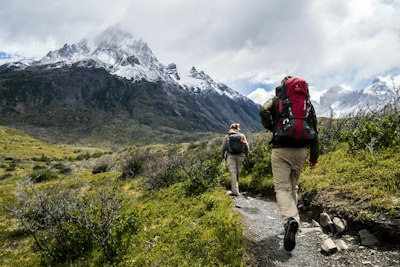
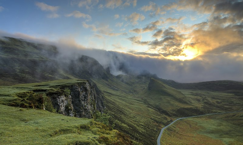
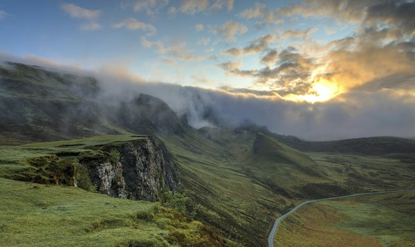
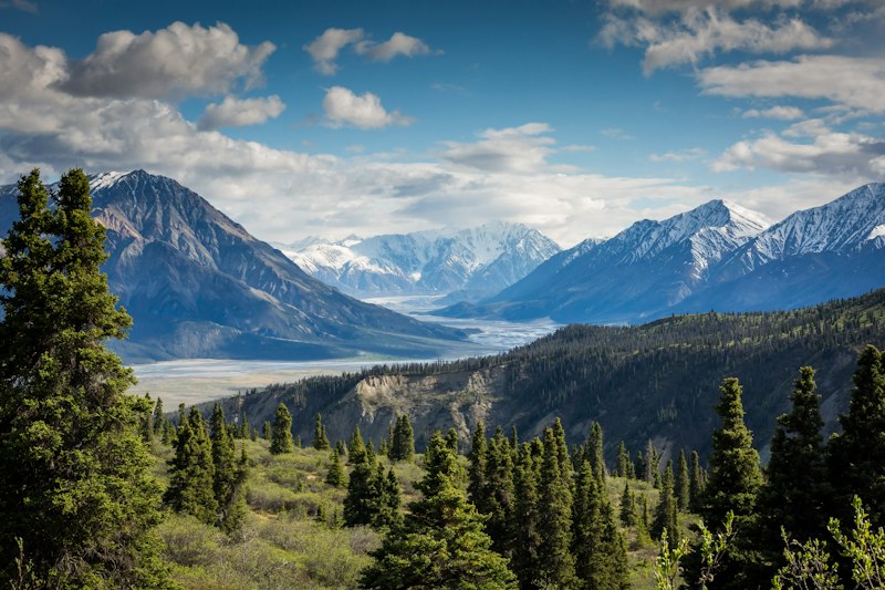
540 kilometres of cliff-edge footpath, sea stacks, fjords, whales and fishing villages. From Cappahayden to St. John's — this is Canada's most dramatic coastal thru-hike. Plan stages, download beta, hike safe.
HikeEastCoastTrail.com is an independent hiker-built guide to the East Coast Trail — the cliff-path network linking 30+ communities on Newfoundland's Avalon Peninsula. We walk every path, GPS every detour, and publish honest beta: water sources, bail-outs, camps, and weather windows.
Started in 2016 by two St. John's thru-hikers, we now maintain seasonal trail reports with volunteers, fishermen and search-and-rescue. Our mission: keep you safe, keep the trail wild, leave no trace.
From easy lighthouse strolls to brutal 20 km headland epics. All distances one-way. Rating: E-Easy, M-Moderate, D-Difficult, S-Severe.
Wildest southern barrens. Titanic distress call site, lonely lighthouse, river crossings. No bail-out for 12 km.
Iconic natural sea geyser, suspension bridge over Narrow Cove, endless boardwalk. Whale highway in July.
Sea stacks, Beamer Falls, Red Head. Technical scrambles + ladders. Best sunset headlands.
Quidi Vidi to Logy Bay. Perfect first taste: cliffs, gun batteries, ice cream in Quidi Vidi village after.
Family-friendly Torbay to Flatrock. Waterfalls, cobble beaches, puffins in season. Dogs on leash.
Suspension bridge over turquoise gorge, abandoned village, secret swimming hole. Slippery when wet.

Fort Amherst → Blackhead → Sugarloaf → Stiles Cove. Sleep in hostels, resupply in Goulds. 42 km, warm-up legs, puffins at Witless Bay.

Mickeleens → Beaches → Tinkers Point. Deep fjords, waterfall camps, no cell signal. Cache food in Aquaforte. 58 km, hardest navigation.

12.4 km • Sea arches, Berry Head camp

14.1 km • Fog navigation skills needed

18.5 km • Lighthouse finish, diploma

Screech-in, cod tongues, rest
Conditions, closures, wildlife alerts, thru-hiker stories. Updated weekly in season.

Good news for thru-hikers: the Narrow Cove suspension bridge is back open with new cables and decking.
Read Soon →
Giants off Logy Bay this week. Where to see them safely without leaving the trail.
Read Soon →
Compass bearings for Flamber Head and Cape Race — plus what to do when visibility drops to 10m.
Read Soon →Harder than AllTrails suggests. Expect mud, root ladders, 300-700m gain per path, and wind that can knock you sideways. Train with a 12 kg pack on hills. Start with Sugarloaf (moderate) before attempting Spout or Cape Race (severe).
Late June to September. June: icebergs + capelin + whales but black flies. July-August: warmest (15-22°C), busiest. September: berries, fall colors, fewer bugs, but shorter days and first gales. Avoid May (snowmelt, washouts) and November-April (ice, closures).
Wild camping is allowed 1 hour from trailheads, no fires. Best designated spots: Berry Head, Freshwater Bay, Aquaforte Beach. Plus hostels in St. John's, Bay Bulls, Ferryland and Cappahayden. Book July weekends early.
Waterproof boots, rain shell + pants, 2L + filter, headlamp, whistle, paper map, power bank, trekking poles, warm layer even in August. Fog can drop temp 10°C in 20 minutes. No cell on 60% of southern paths — carry InReach or similar.
No bears. Moose are the hazard — especially at dusk in bogs. Make noise, give 30m space. Watch for slippery cliff edges; #1 rescue cause is ankle injuries + fog disorientation, not wildlife.
Water sources, bail-out roads, bus shuttles, tide chart. Print it, laminate it, hike it.